
The GEARViewer tool was developed in many years of research on how complex infrastructure projects can be visualized in the best possible way. Together with our project partner Geoconsult Wien ZT GmbH, we developed the software framework GEARViewer, which allows to explore extensive geographical areas interactively and to investigate the effects of large-scale infrastructure buildings on urban and rural environments.
GEARViewer is based on our high-performance visualization framework Aardvark and can display very complex scenes generated from large spatial data. This includes high-resolution terrain models, georeferenced models of buildings and vegetation, as well as a traffic and daylight simulation. Thus, valuable contributions to planning optimization can be provided and serve as a basis for decision-making. Furthermore, projects can be presented in an optimal way, as a clear and comprehensible presentation is possible. Infrastructure projects can not only be experienced visually, but also analysed interactively. High-resolution pictures, video sequences and partly animated panoramas form the most important basis for information, campaigns and public relations.
Licensing information as well as information about the cooperation in a joint research project with GEARViewer is available on request. Please contact us!
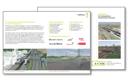
More information about our software GEARViewer in this flyer.